
New Hartford Neighbor Parcel Sources
New Hartford neighbors are best researched as nearby parcels, not as a claimed household list. The Oneida County ArcGIS parcel viewer shows parcel shapes, adjacent parcels, roads, imagery, and mapped context. Beacon and the final assessment roll then supply the parcel ID, situs address, owner and owner mailing fields. SearchIQS can connect a parcel’s deed lead with recorded parties, maps, and transfers. Historic directory street pages and census material are useful for past block context, but neither should be read as a present occupancy record.
| Source | What It Shows About a Block | Access |
|---|---|---|
| County ArcGIS | Parcel shapes, adjacent parcels, roads, imagery, and thematic context | Online map; click and select |
| Beacon and final roll | Parcel ID, situs, owner and mailing fields, class, value, and exemption | Online search, PDF roll, or assessor |
| SearchIQS | Recorded transfers, mortgages, maps, and named parties | Guest index; image or copy payment |
| Directory street pages | Historical names, businesses, intersections, and residence notation | UPL scans, catalog, or library inquiry |
| USPS | Complete-address delivery and ZIP verification | Official address lookup |
| Town Codes and FOIL | Permit, inspection, certificate, violation, and zoning records by address | Phone, office, or written request |
Each row has a different purpose. A parcel map establishes proximity. An assessment roll identifies the assessed owner and mailing relationship. A deed identifies recorded parties and a legal description. A directory can describe a business, residence, intersection, or boarding arrangement. None of those records alone confirms that a particular person currently lives at an address. Keep the full address, street spelling, postal city, ZIP+4 when supplied, parcel ID, map date, and historical alias together so the block can be checked again later.
Map New Hartford Neighbors
The adjacent-parcel method begins at the center address, then moves only one block outward. It creates a defensible record of nearby parcels without treating proximity as proof of a family, household, or current occupant relationship. First confirm the complete address with the USPS ZIP Lookup. A postal place is not the same as the Town boundary, and the same New Hartford research can involve Chadwicks, Washington Mills, Utica, or other postal labels. Once the address is normalized, keep its delivery label separate from the municipality and parcel geometry.
- Find the center address in the County ArcGIS viewer and record its parcel ID, street side, and map date.
- Zoom to the immediate block, click the touching or nearby parcels, and record each parcel ID and street side.
- Verify each parcel in Beacon or the final roll, keeping situs and owner mailing fields as separate facts.
- Use the parcel’s deed lead in SearchIQS when a recorded transfer or map is needed, then preserve the recording date and legal-description link.
For a full named-street record chain, the New Hartford Street Directory follows the address sequence in more detail. The block method stays narrower: adjacent parcel, same block, record date, and source. If parcel numbers change over time, compare legal description, acreage, road, neighboring owners, and map geometry before deciding that two records refer to the same place.
New Hartford Neighbors and Rolls
The Town of New Hartford assessor page is the local route for assessment-roll context and points to the county assessment search. The research sequence is roll or Beacon first, GIS second, and SearchIQS third. The parcel identifier is the bridge between those systems. It is more stable than a displayed street name when old road names, postal cities, or municipal labels differ. Assessment material may show owner, owner mailing address, class, values, exemptions, acreage or grid details, and a deed-book lead.
The official assessor resource identifies the municipal assessment route for a New Hartford neighbor parcel review.
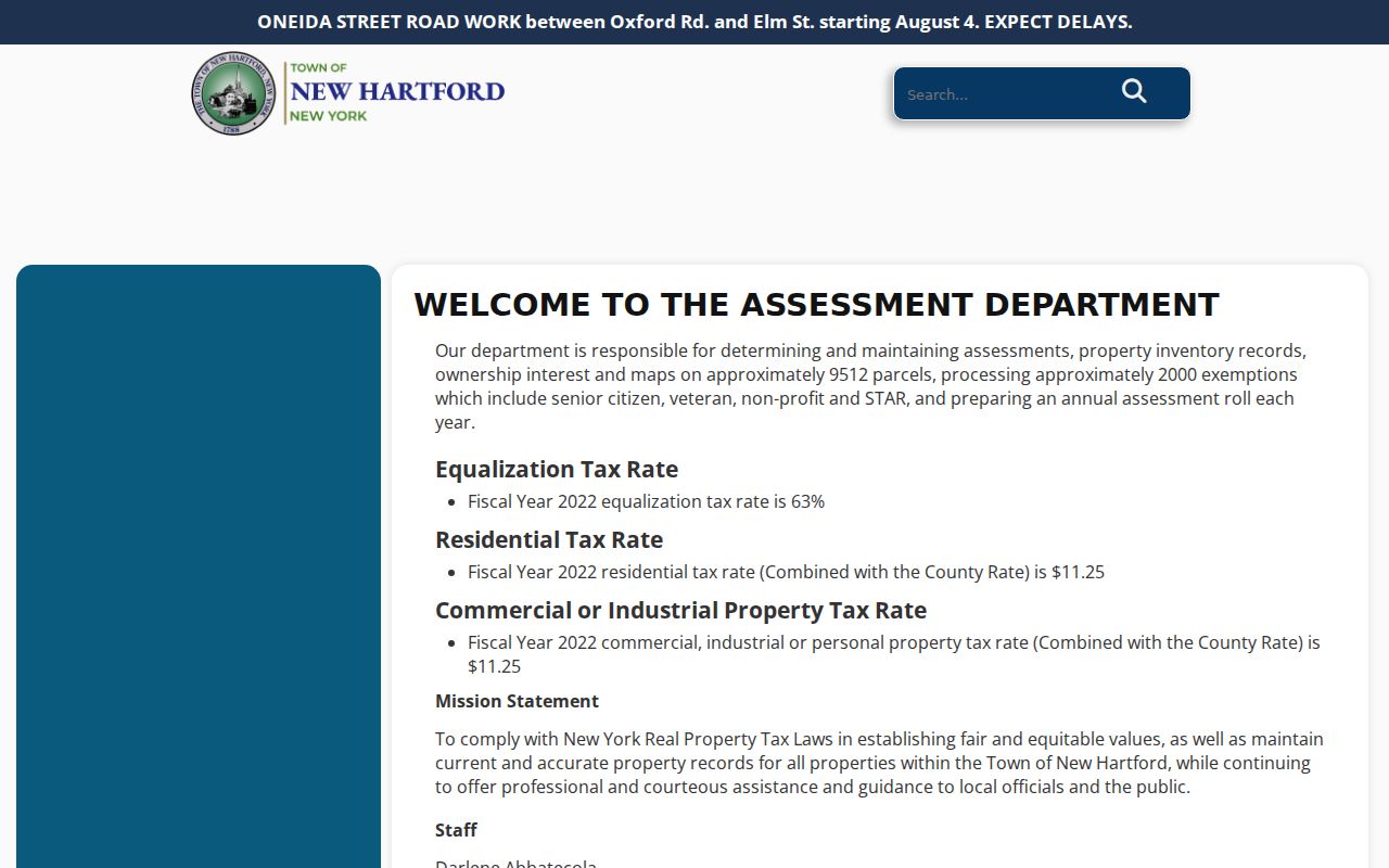
Read the situs address and owner mailing address separately. The first describes the assessed property location; the second can be elsewhere. A class or exemption is also an assessment field, not a statement about the people present at the parcel. The published 2025–26 final tax roll and the assessor inquiry route provide complementary checks when a live search or map label needs confirmation.
Note: Record the parcel ID and source date with each field because current assessment information can change between rolls.
New Hartford Neighbors and Maps
The County viewer can add place context beyond parcel boundaries. Its documented layers include schools, floodplains, wetlands, soils, sewer, and contours, although the precise live controls were not captured in the research. These layers can help explain why a block follows a creek, road, or terrain edge. They cannot identify a person at a property. Preserve the layer name, map date, and source URL whenever a mapped feature is used to compare historical and current records.
New Hartford’s address history also uses more than one place name. The Village of New Hartford, Chadwicks, Washington Mills, Middle Settlement or Middlesettlement, and roads such as Genesee, Oxford, Campion, Middle Settlement, Paris, Clinton, and French can appear in different sources. The Town formed from Whitestown in 1827, and early twentieth-century annexations affecting Utica can change a household’s municipality label. Test the road and nearby parcels before merging decades of records under one current label.
New Hartford Neighbors Voter Check
The New York voter lookup is a person-level status and poll-site check, not a downloadable block roll. It requires county, last name, first name, date of birth, ZIP, and address information. A match still needs a second anchor because people can share a name, date of birth, or ZIP. The research specifically warns that a match may have a different address or a protected location. Do not read a voter result as a list of every person on the block or as a substitute for the parcel map.
The Oneida County Board of Elections provides registration, update, and cancellation routes. A state voter-file request follows the New York elections FOIL process, which requires an elections purpose and uses the state file layout. Historic New Hartford poll-book or registration years were not located in the reviewed official sources. A catalog request to the Board of Elections, State Archives, or Oneida County History Center is the documented fallback for that historical question.
New Hartford Association Directory Gap
An official Town neighborhood-association directory or citywide umbrella listing was not located in the reviewed sources. That absence matters. It is not support for treating an informal online group as an official roster. For neighborhood context, use documented place history, municipal planning or board records, and parcel sources. Ask Town Planning whether a current association list exists, then preserve the association name, stated boundary, website, contact route, and date checked before relying on it.
| Local resource or gap | Use for a block question |
|---|---|
| Official association directory | No Town-wide source was located; confirm directly with Town Planning before claiming one exists. |
| New Hartford Historical Society villages and hamlets | Translate historical village, hamlet, road, and place labels. |
The Historical Society connects named places including Genesee Street, Oxford Road, Campion Road, Sauquoit Creek, Middle Settlement, and Washington Mills with documented history. That context can explain why a historic directory or deed uses a name that a current parcel display does not. It cannot create a current neighborhood roster.
The Historical Society’s villages and hamlets resource preserves the place-name context used in New Hartford block research.
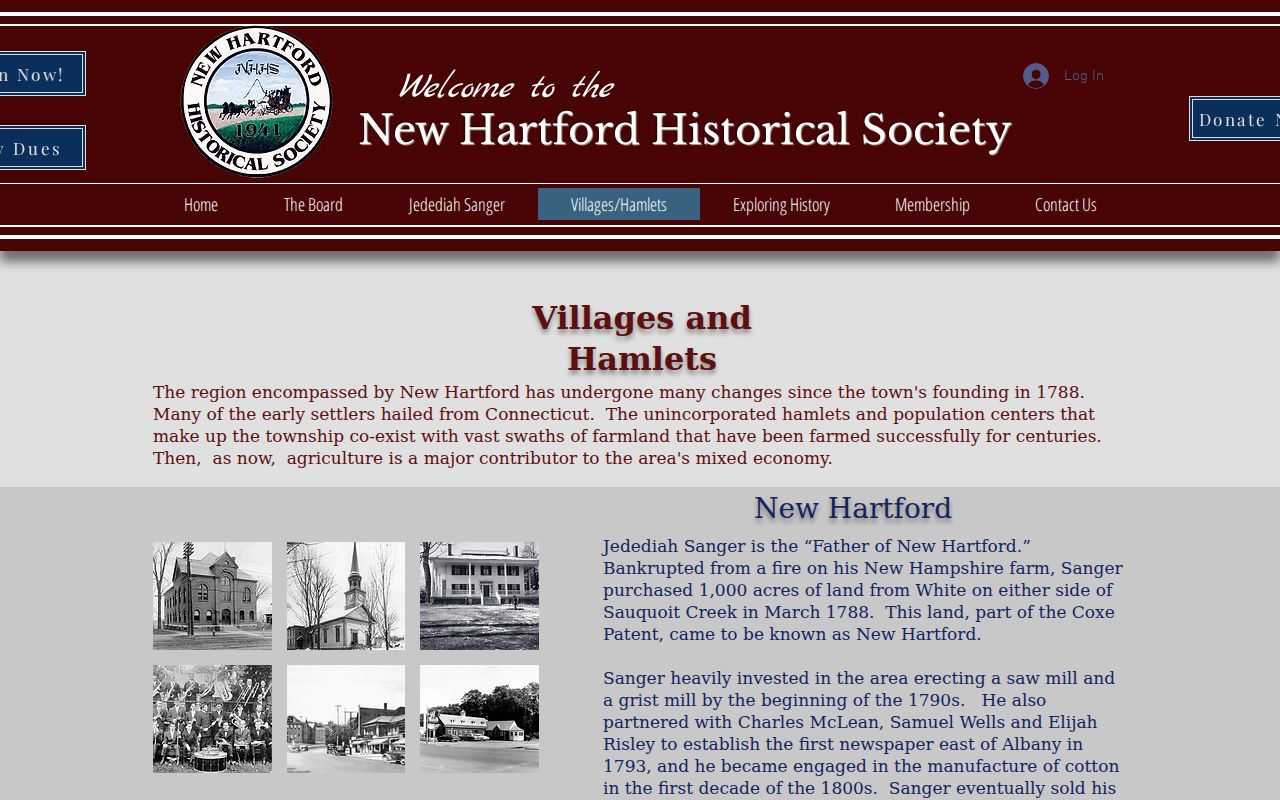
Use the historical naming context to refine a street, parcel, or directory search. Keep its evidence separate from current parcel and occupancy questions.
New Hartford Neighbors Record Comparison
Official sources and commercial neighbor-search categories do different things. The official routes identify the agency, record type, date, and access limit. A commercial category can mix material from unknown dates or sources and may not preserve the parcel, court, or voter limit that makes an interpretation safe. For a block question, the useful comparison is not which category offers more names. It is whether the record can be traced to the parcel, custodian, and date needed to verify it.
| Source category | Best support | Key limit |
|---|---|---|
| Official parcel, roll, deed, and map routes | Parcel relationship, assessed owner, recorded transfer, or map context | Does not prove a current occupant or household membership |
| Official voter and court routes | Limited registration or case information where public | Protected, sealed, delayed, and purpose-limited material remains unavailable |
| Commercial neighbor-search category | A lead to verify against a custodian record | Source date, accuracy, and identity match may be unclear |
SearchIQS remains the recorded-instrument route. Its guest index can be searched by party name, date, document group or description, town, book or page, and instrument or case number. County guidance describes deed coverage as index or data from 1963 through 1974 and index or image from 1974 forward. If a copy is needed, use the Clerk’s published image or request process rather than inferring details from an index line.
New Hartford Neighbors Privacy Boundaries
New Hartford neighbor research must stop at the limits of the record. The New York Address Confidentiality Program gives eligible participants a substitute address and mail forwarding. The state says membership is four years, and actual addresses are released only through authorized court or law-enforcement process. Confidential voter registration is a separate safeguard. A public result that omits a location may be working as intended. Do not attempt to derive a protected physical address from parcel, voter, delivery, or nearby-record patterns.
Use FOIL, Town Clerk, County Clerk, and court procedures for records that are available through those channels. Preserve source dates, distinguish owner mailing, situs, historical residence, and inference, and omit unnecessary personal details. New York’s privacy rules, court sealing, vital-record limits, election restrictions, and motor-vehicle protections cannot be bypassed by combining records. A nearby parcel is a location relationship only. It is not evidence of shared household, family relationship, or current presence.
Lawful use. New Hartford neighbor research is for personal, lawful property and community context. Using address or identifying information to stalk, harass, intimidate, or harm another person is prohibited under New York law.