
Walk a New Hartford Street
A New Hartford street directory search starts by confirming the full delivery address with the USPS ZIP lookup. Postal geography is not the Town boundary, so a street can carry a nearby place name even when its parcel belongs in Town records. Next, use the Oneida County parcel viewer to locate the parcel. The map supplies shape, road context, imagery, and adjacent-parcel context. It does not establish who is physically at an address.
Write down the number, street spelling, postal city, ZIP+4 when supplied, parcel ID, situs address, map date, and any historic alias. That small record prevents a common New Hartford error: treating an owner mailing address, a deed party address, and a current property address as the same fact. Use the sources in their strongest order instead of treating one lookup as a full list of residents.
- Verify the complete address and ZIP with USPS, then save the postal place name exactly as returned.
- Find the parcel in the County GIS viewer and record its parcel ID, road position, and neighboring parcel context.
- Search the Town assessment route for the parcel’s situs, owner, mailing address, class, and deed-book lead.
- Use the deed-book reference in SearchIQS to review recorded parties, document type, date, and image status.
- Use the New York voter lookup only for a name-and-address status or poll-site check, then compare any historic address clue with directory and census material.
Note: A nearby parcel, a tax owner, and a voter-status result are separate forms of evidence and should never be merged into an occupancy claim.
New Hartford Address Search Fields
The Town of New Hartford Assessor links to Beacon, annual assessment material, and prior or final rolls. Beacon is the primary parcel search route. Its captured controls require a state and county or area selection before a search, then offer name, address, parcel ID, alternate ID, and an all-records mode. For a New Hartford parcel, search a road by a complete address where possible. A name search can help when a recorded party is known, but it should not replace the parcel number.
| Beacon field or control | Input | New Hartford use | Limit |
|---|---|---|---|
| State | Required selection | Starts the assessment-search route | Full option list was not captured. |
| County/City/Area | Required selection | Selects the Oneida County and New Hartford parcel route | Area labels can change. |
| Name, address, or parcel ID | Text search | Finds the parcel record from an owner, street, or identifier | Search hits are not occupancy proof. |
| Search mode | All, name, address, parcel ID, or alternate ID | Narrows the query to the evidence already known | Live option detail should be checked in Beacon. |
The published 2025-26 final roll is the useful static fallback when Beacon is unavailable. It can show parcel and grid data, property address, owner, current owner mailing address, class, acreage, value, exemptions, and a deed-book lead. The roll has roughly 9,512 parcels, but it is dated assessment material, not a live household list. The assessor counter, phone, email, and a Town FOIL request remain available for dated rolls, property cards, or map records not available online.
See the New Hartford assessor page for the office that maintains the roll and ownership-interest maps.
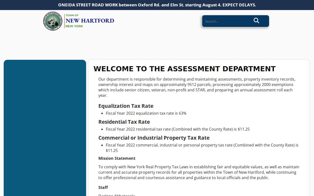
The assessment route is most useful at the front of a street-by-street search because its parcel identifier connects the situs address to map geometry and the deed-book lead.
New Hartford Street Roll Fallback
The published 2025-26 final roll is the fallback when a Beacon result is unavailable or when a dated assessment snapshot is needed. Its rows can show parcel number, property address, owner, current owner mailing address, class, assessment, exemption, acreage, grid data, and a deed-book reference. A static row still needs a date label. It may be useful for tracing how a field changed between rolls, but it is not an interactive parcel card and cannot establish who occupies the property.
Read the property address and mailing address as two different fields. The research's sample municipal and public-parcel rows show why that matters: several properties can share an organizational mailing address while having distinct streets, classes, acreage, and deed references. Use the parcel ID and deed-book lead to locate the correct record, then confirm a present value or correction with Beacon or the assessor office.
Map a New Hartford Street
The County ArcGIS viewer adds the geometry that a New Hartford street directory needs. Click or select the target parcel, then inspect the road and adjoining parcel shapes before searching any names. The County description identifies owner, address, assessed value, and acreage as parcel information and describes layers for school districts, floodplains, sanitary sewers, wetlands, soils, and contours. The research capture did not expose every live layer label, so save the map date, selected layer, and source URL when a layer matters.
A parcel boundary is a stronger address anchor than a postal place label. New Hartford research can encounter Chadwicks, Washington Mills, New York Mills, Sauquoit, Whitesboro, Clinton, or Utica labels. The principal preferred ZIP is 13413, but it does not define the Town. Compare the GIS parcel with Beacon and USPS rather than assigning a ZIP from the town name alone. The New York State parcel map is a further geographic cross-check, not a replacement for the local assessment record.
- Parcel
- A tax and mapping unit used to connect an assessment record, map geometry, and deed references.
- Situs address
- The location of the property itself. It can differ from the owner’s mailing address.
- Plat
- A map that depicts parcel or subdivision layout. It is useful for location context, not proof of occupancy.
- Criss-cross directory
- A directory organized by address instead of surname. No separately catalogued New Hartford-only run was located; address sections in Utica-area volumes are the practical substitute.
New Hartford’s address geography follows the Sauquoit Creek valley and roads such as Genesee, Oxford, Campion, Paris, Clinton, French, and Middle Settlement. Historic material may use a hamlet, intersection, or earlier place label instead of a modern street number. The New Hartford Historical Society is a useful route for translating those local names before a historic record is discarded as a mismatch.
New Hartford Street Map Layers
The Oneida County viewer can put a street search in physical context with school-district, floodplain, sanitary-sewer, wetland, soil, and contour layers. These layers can explain why an old map, road description, or parcel boundary needs a second look. They do not identify a household or prove a person's connection to the adjacent property. The live capture did not expose every layer control or vintage, so a careful New Hartford street directory search records the selected layer, map date, and source URL before drawing a conclusion.
For a boundary question, use the county map first, compare the parcel identifier with Beacon or the final roll, and only then follow a recorded deed lead. A state parcel map is a useful geographic cross-check if the county display fails. This keeps postal delivery labels, municipal geography, parcel geometry, and recorded land descriptions in their proper roles.
New Hartford Street Record Coverage
A New Hartford street directory becomes more reliable when each record is read for its intended purpose. The New Hartford assessment row is the current parcel index. County GIS describes where that parcel lies. The County Clerk index describes recorded instruments. Town Codes files can document a project at an address, but the Town did not publish an online permit register. Election lookup confirms a limited registration or poll-site relationship after the required inputs are supplied; it is not a downloadable roll by street.
| Address-keyed record | Custodian | What it can show | Access channel |
|---|---|---|---|
| Assessment roll or parcel card | Town Assessor | Parcel, situs, owner, mailing address, class, value, exemptions, deed lead | Beacon, final roll, assessor counter, phone/email, or FOIL. |
| Parcel map | Oneida County Planning | Parcel shape, roads, imagery, adjacent parcels, and thematic context | ArcGIS viewer, county inquiry, or State parcel map. |
| Deed and mortgage index | Oneida County Clerk | Grantor, grantee, document date, liber/page, instrument, and image link | Guest SearchIQS, public terminal, copy request, or search request. |
| Permit or inspection file | Town Codes | Owner, applicant, agent, project address, work, inspection, and certificate | Codes office, phone, permit form, or date-bounded FOIL request. |
| Voter status lookup | New York elections system | Status, poll site, and mail-ballot information after required inputs | Official voter lookup; Board of Elections and FOIL routes for documented requests. |
For a record unavailable online, start with the relevant custodian. The assessor can handle parcel questions. The County Clerk offers a public computer and written search or copy routes. Town Hall, phone contacts, and written FOIL requests are the municipal fallback for dated property or Codes files. Libraries and historical repositories supply older directory, map, and newspaper context, but they do not replace an official parcel or recorded-instrument file.
New Hartford Deed Leads
The Oneida County Clerk’s SearchIQS index is the recorded-record branch of a New Hartford street directory search. It captures party, date, document, town, book or page, instrument or case, and party-type controls. A New Hartford parcel’s deed-book lead narrows that search. The public-record legend reports deed index and data from 1963 through 1974, with index and image access from 1974 forward. Do not assume that every older result has an image just because it has an index entry.
Search the deed by the known party and date range, then retain the instrument number, recording date, grantor, grantee, legal description, liber or page, image status, and parcel ID. A deed establishes a recorded transfer, not who lived there. If an image or copy is needed, the Clerk’s public terminal, staff assistance, online copy request, and mail search-request form provide documented alternatives. The two-year name-search form is a defined fallback and charges $5 per name for each two-year period, with copies additional.
The County Clerk deed-copy instructions show the official workflow for identifying and obtaining a deed record.
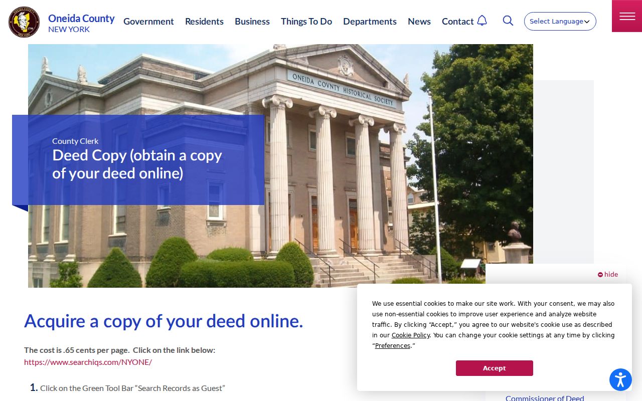
When a street name or number changed, follow the legal description, acreage, road, neighboring owners, and map geometry rather than relying on the current address alone.
Note: SearchIQS access and image coverage are category-specific, so record whether a result was index-only, image-backed, terminal-only, or unavailable.
New Hartford Street File Requests
New Hartford Town Codes records add a dated project layer to an address search. The permit application covers the owner, applicant or agent, project address, work description, inspections, and certificate activity. The Codes Department is the first contact for a specific permit, inspection, certificate, violation, or zoning question. No public online permit register was located, so the useful request is narrow: name the address or parcel, the record type, and the date range.
The Town FOIL procedure is the written fallback for an assessment roll, property card, building permit, certificate of occupancy, zoning decision, or historical register that is not posted. Standard black-and-white copies are 25 cents per page; color, oversize, and digital media may cost more. The Town says it should contact a requester within five business days, while readily available records are generally supplied within 20 days or an estimate is given. Privacy and other statutory exemptions can limit what is released.
County Clerk copies use a different route. The Clerk’s request form can identify a document by party, liber and page, file, or index number. Keep a copy request focused on the recorded instrument rather than asking for a broad list of people connected to a road.
New Hartford Street Name History
Older street research needs the Town’s changing boundary labels. New Hartford separated from Whitestown in 1827, and Utica annexations in 1921, 1922, and 1925 can move a road or household between municipal labels in older material. Test New Hartford, Utica, Whitestown, Deerfield, Washington Mills, Chadwicks, and the street name when a directory or census search misses. An official New Hartford street-renumbering chronology was not located, so an old number should be treated as a lead, not forced into a modern parcel.
The Utica Public Library’s directory gateway lists New Hartford-inclusive volumes from 1869-70 through 1951, with gaps. Search street and classified sections, then preserve the volume title, year, printed place label, page, exact spelling, residence notation, and nearby entries. Those records are historical household clues. For full collection detail, use the New Hartford Directory Book; a street-first search should stay focused on the address sections rather than rebuilding the entire directory shelf.
The county has been digitizing records since 2023, added a map scanner in 2024, and expanded Deeds staffing. That change from paper or index-only access to searchable images makes the date of each search result important.
Visit the SearchIQS guest entry before beginning a recorded-instrument search.
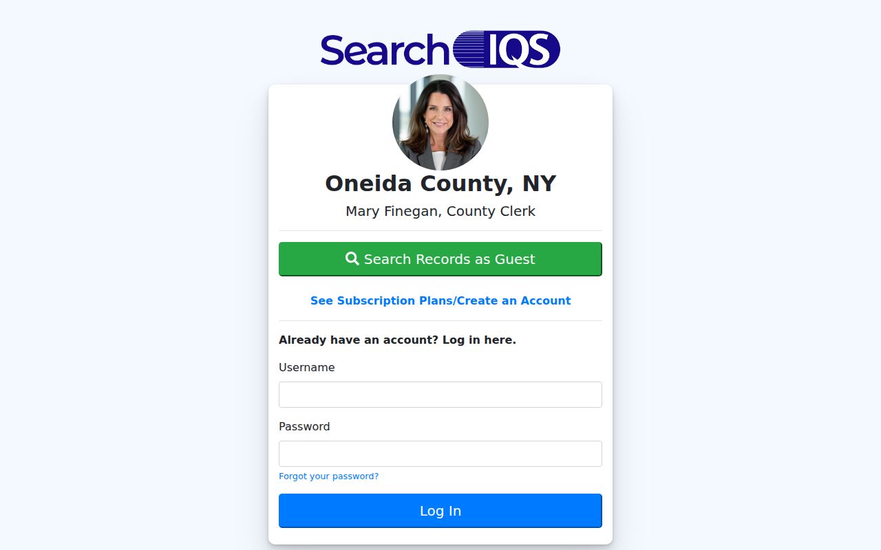
The index entry is a starting point for a document trail, and the coverage legend tells whether the next step is an image, a copy request, or a counter search.
New Hartford Street Directory Limits
No New Hartford street directory is a complete roster of everyone at every address. New Hartford assessment records identify an owner and mailing address, not an occupant. A deed names parties to a recorded transaction, not every household member. County GIS establishes an adjacent-parcel relationship, not a personal relationship. The voter tool requires county, name, date of birth, ZIP, and address inputs, and returns limited status or poll-site information rather than a public street list. A directory can show a residence, business, boarding arrangement, or intersection, depending on the volume.
New York also protects some addresses. The Address Confidentiality Program supplies a substitute address and mail forwarding for eligible participants, and confidential voter registration is a separate safeguard. Motor-vehicle personal information is restricted under the Driver’s Privacy Protection Act. A missing result can reflect a protected, sealed, unavailable, or differently indexed record rather than proof about a person or property.
Lawful use. Use New Hartford street records for personal, family-history, property, or civic research. Do not use an address trail to stalk, harass, intimidate, or harm anyone.